Joe Henzi
photo Oct 13, 2026 No. 1 — Sept 2026
Oct 13
2026
photo
1 frame

Planes overhead

The planes around us, picked out of the air with an RTL-SDR adapter on a Raspberry Pi.
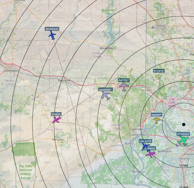
A flight-tracking map of the countryside west of Cincinnati, with black range rings marked every five nautical miles spreading out from a single dot. Aircraft icons sit across it, nine of them tagged with callsigns — UAL2475, AAY557, SKW5443, SKW5401, EJM652, ATN3323, N28DC, N99WP, N12419 — some trailing dashed lines that show where they came from. Towns along the edges include Greensburg, Batesville, Brookville, Oxford, Lawrenceburg, Aurora and Rising Sun.

We love tracking and seeing the planes around us. An RTL-SDR adapter on a Raspberry Pi, and everything flying within range turns up on the map.